
ST. CUTHBERT’S, CARLISLE
Supporting Cumberland Council in shaping a compelling and commercially focused vision for the heart of a new 10,000 home new settlement.
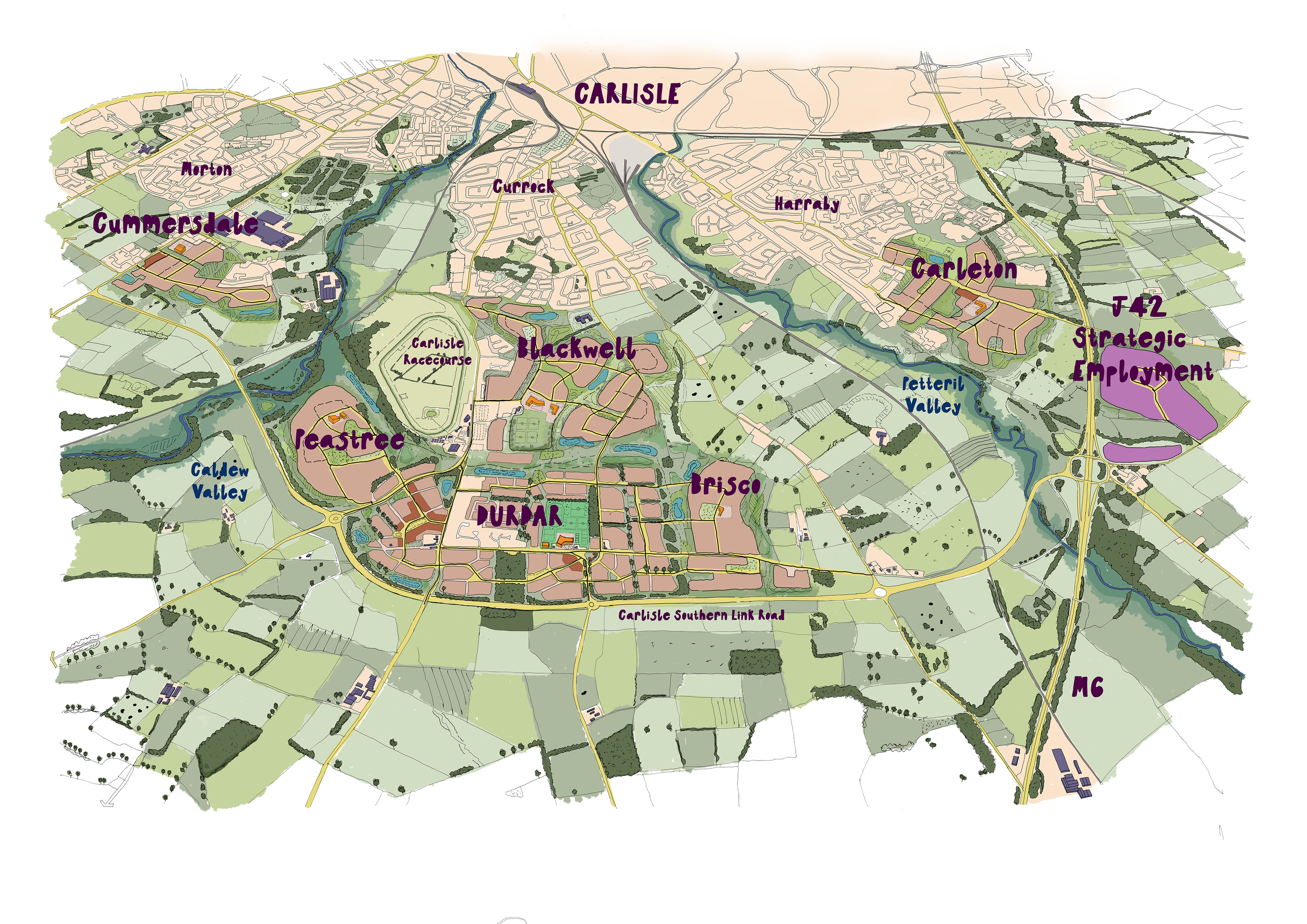
Contextual sketch showing Durdar’s position at the heart of the wider St.Cuthbert’s development
St. Cuthbert’s Garden Village is a proposed 10,000 home new settlement to the South of Carlisle.
We were asked to help test and reshape proposals for the central community within the Garden Village - setting out a compelling and deliverable vision for the early phases of delivery of around 3,500 homes at Durdar.
Our starting point was to work with the existing structure and community of Durdar, whilst also reviewing site conditions, land ownership and commercial feedback.
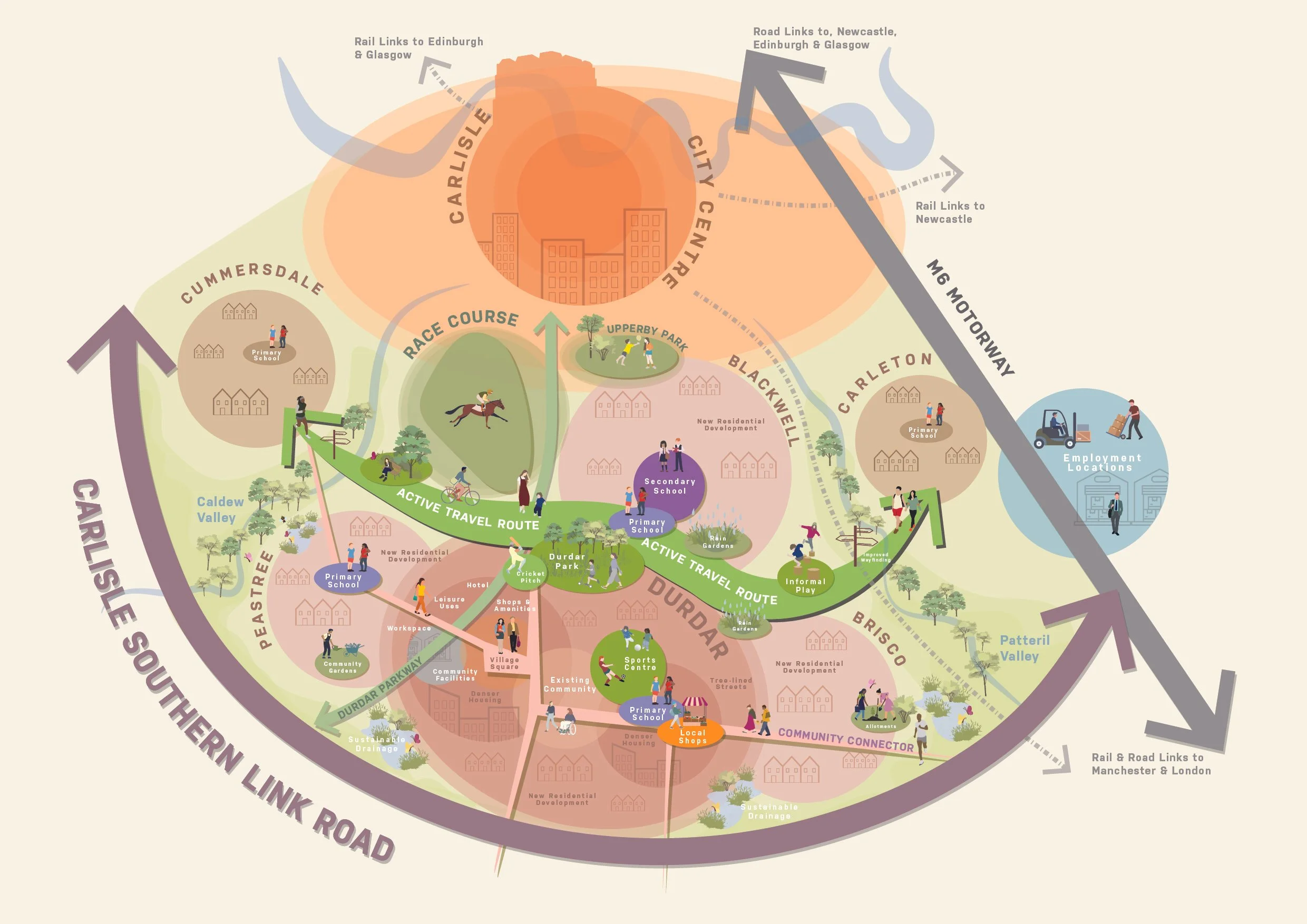
Vision diagram for Durdar & St.Cuthbert’s
The masterplan was refined to represent a more natural evolution of the existing settlement and a market facing development proposition drawing on the nearby Carlisle Racecourse and recently completed Southern Link Road to drive commercial activity.
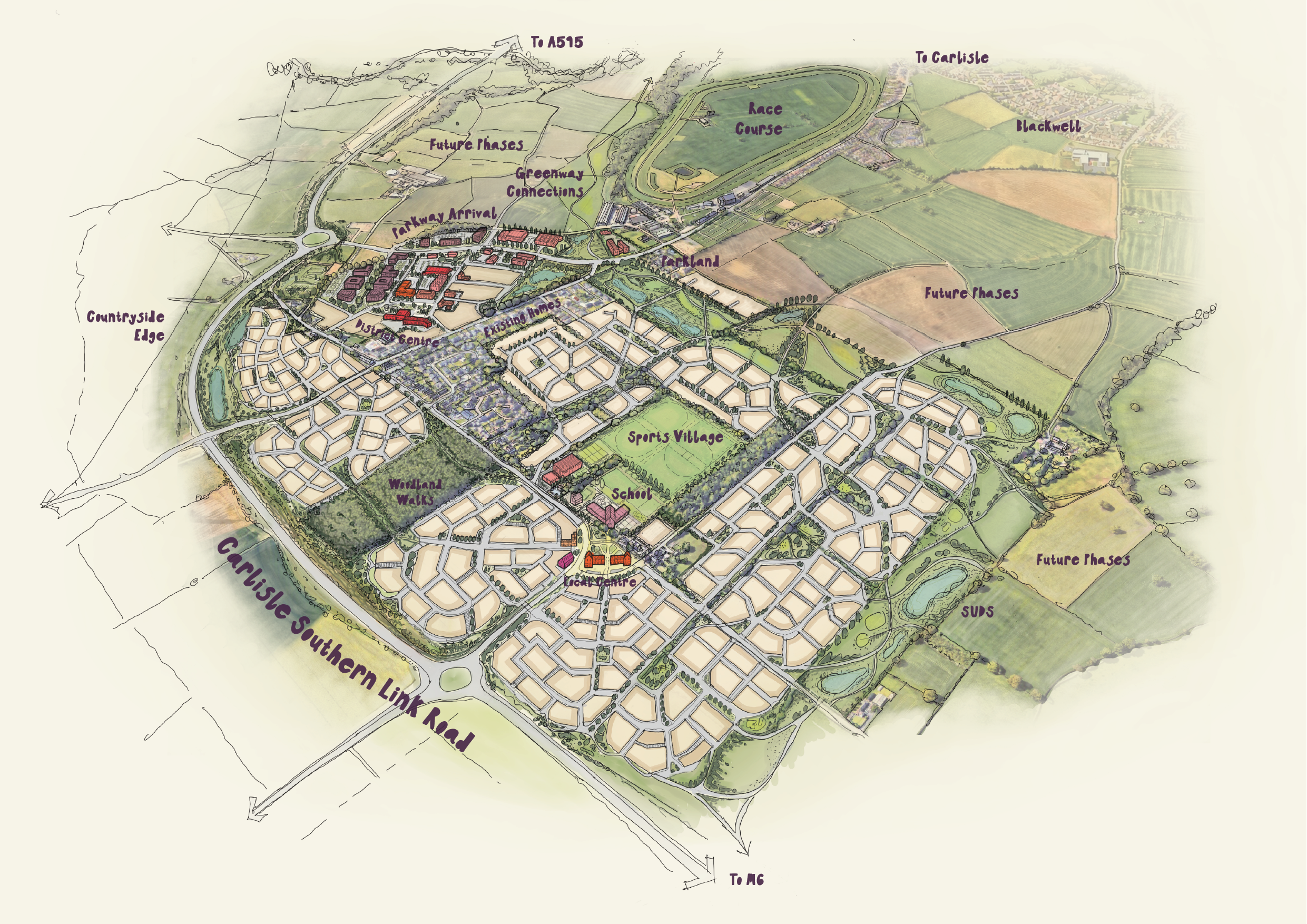
Aerial view showing local and district centre locations building around the existing community of Durdar
We have reshaped the local and district centres, moving key features such as primary school and sports facilities to support early commercial activity.
By reorientating the District Centre the plans build a critical mass of community activity in the early stages whilst enabling intensification alongside the growing community.
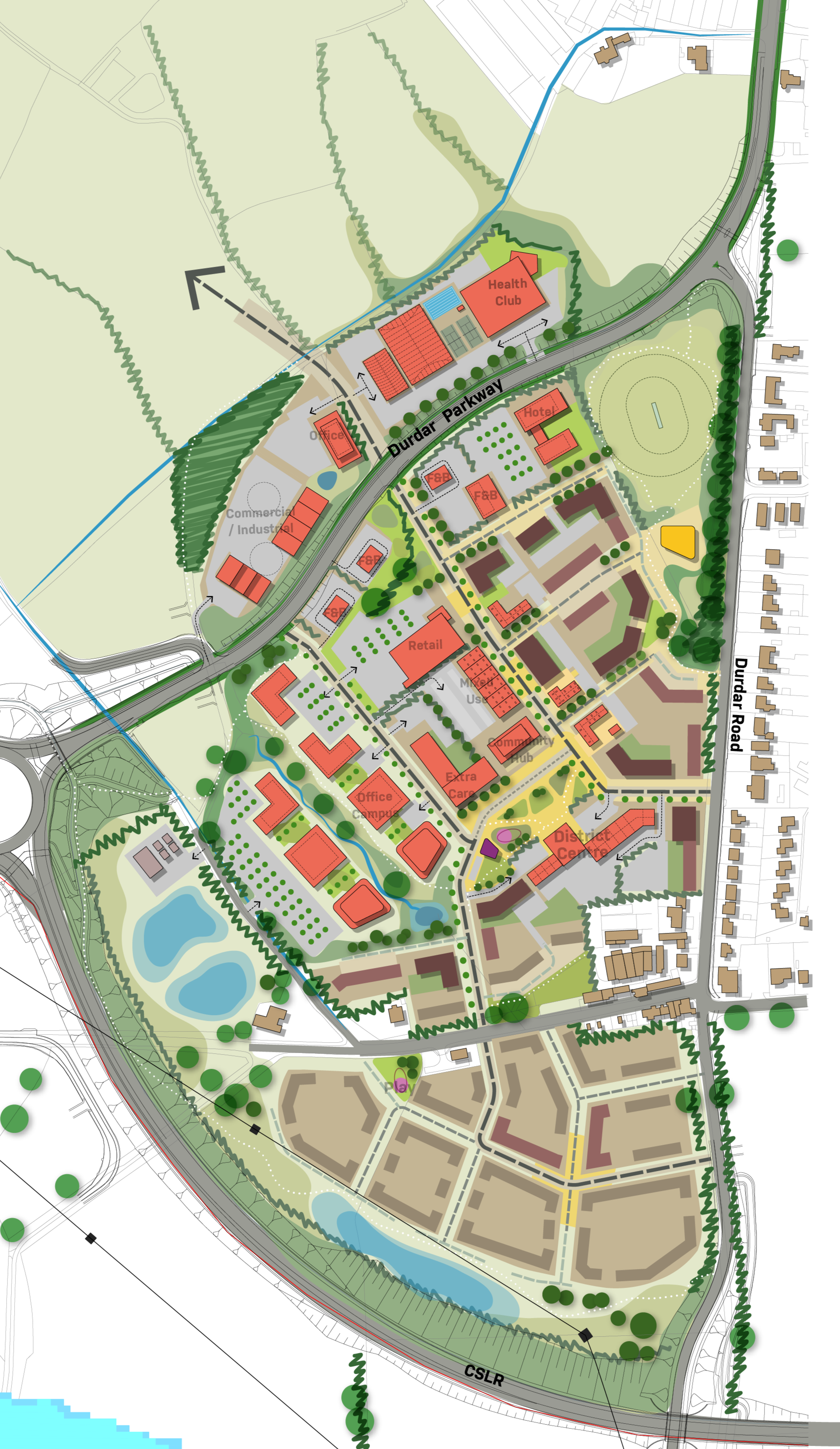
District Centre framework masterplan
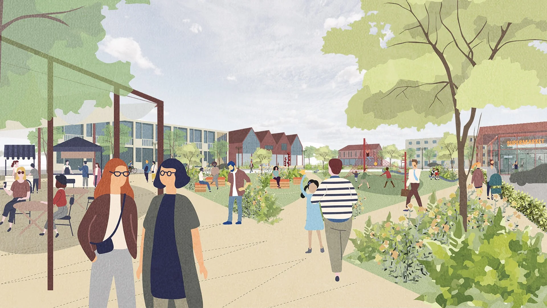
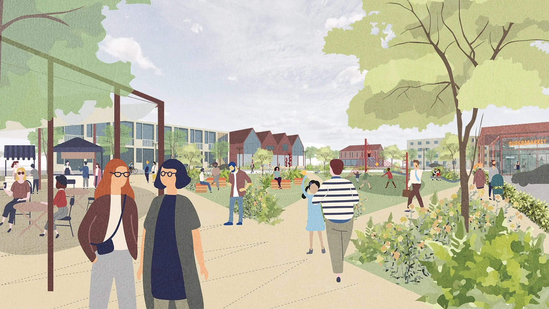
Illustrative view of Village Square within the District Centre
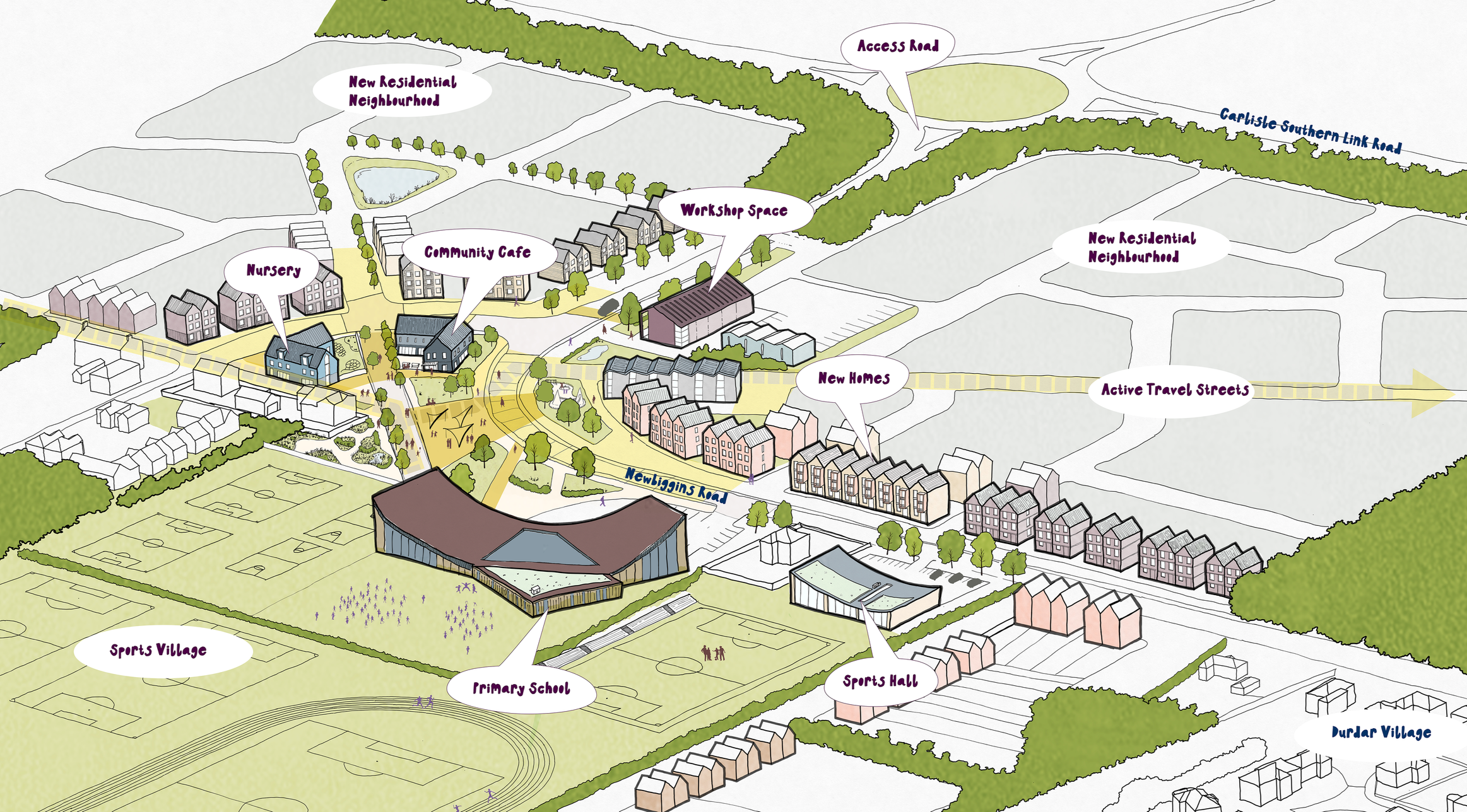
3d illustration of the Local Centre showing the new Primary School, commercial used, sports and play facilities
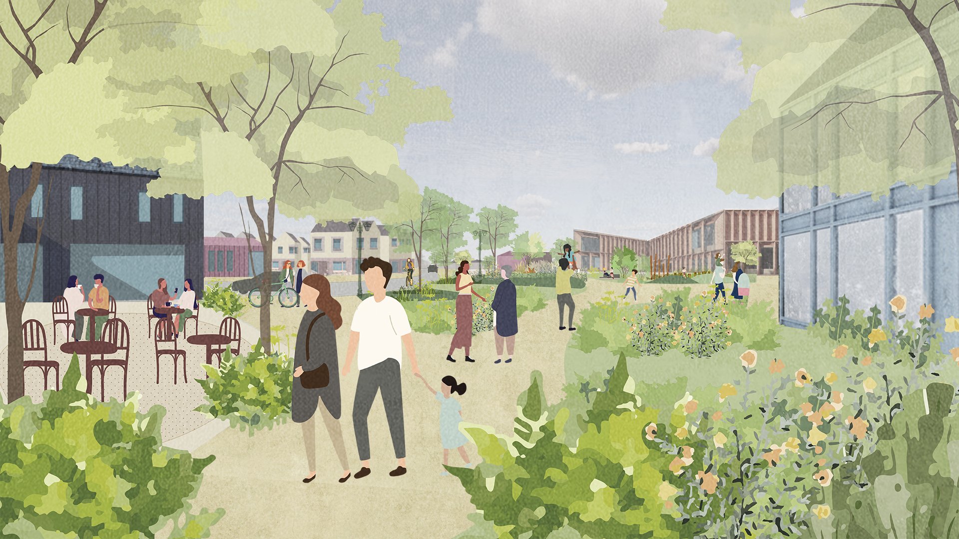
Illustrative view of Community facilities within the Local Centre
Client: Cumberland Council
Services: Masterplanning & Urban Design
Collaborators: Hyas Associates, Aspinall Verdi, Savills
You can go back to our project work here